JuraMap
Jura Mountains mapping ¦ vector JuraMap ¦ raster JuraMap
- Offline vector JuraMap (< 1 mB): Locus Map & Cartograph Maps .map ¦ OsmAnd .obf
- Offline raster JuraMap (800 mB): Locus Map & Cartograph Maps .mbtiles
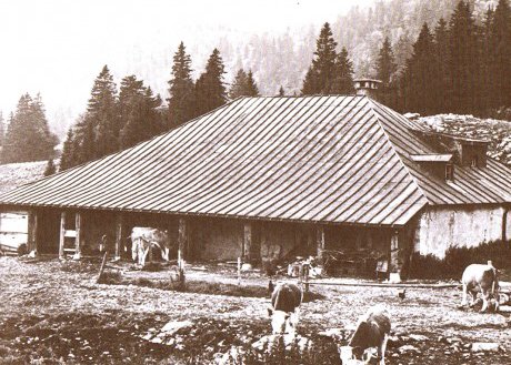
The JuraMap activity involves the open-source mapping of features based on an historical map of a region. It is being carried out to better understand the landscape of the Jura Mountains in the south-west corner of Switzerland above the village of Saint Cergue.
Detailed raster maps are available as well as a vector version of the raster base map.
Offline maps for Android smartphone GPS apps (OsmAnd, Locus Map and Cartograph Maps) are available (see above).
The aim is to create as closely as possible a map of the region as it existed in 1898.
The Dufour Map, the first map of modern-day Switzerland, was published in 1845.
The Dufour Map was followed by a first edition of the Siegfried Map which for most of the area of interest was published in 1898. The exact dates depend on the commune (Le Brassus: 1894; Le Sentier: 1894; Les Plats: 1895: Marchairuz: 1894; La Cure: 1898; Arzier: 1898; La Dôle: 1893; St-Cergue: 1894). The various editions of the Swiss national map starting with the Dufour Map are available as a Journey Through Time sequence.
Using the Siegfried Map as the basis, various features are added (geological, cutural, nature and wildlife based, etc) as the basis for vitual tours of the region.
Swisstopo's aerial photographs taken in 1933 provide a useful way to check some details such as road network and forest boundaries.
The area of interest is the Jura Mountains region north of the main road from La Cure on the boundary with Switzerland through Saint-Cergue to Arzier and then cross-country to Saint-George. The road from Saint-George that passes through Marchairuz before reaching the Switzerland-France near La Brassus boundary forms the north-eastern boundary.
The other main sources, aside from local ground truth and much archived material, are swissTopo's swissALTI3D Digtal Elevation Model and its swissImage high-resolution (10 cm) aerial orthophoto mosaic. Both are available online. The DEM has been manually edited (using Photoshop with Avenza's GraphicImager plugin to save edited files as geotiff files) to remove roads and tracks constructed using heavy machinery after about 1898. The current OpenStreetMap has also been edited to restore forest and grassland boundaries and man-made features to their likely locations in 1889 and to introduce significant historical and geological features that are not mapped.
To facilitate determining features and their locations, the JuraMap is also available as a set of detailed side-by-side raster maps and the paths and tracks that probably existed in 1898 are assumed to be based on those that were mapped by the Siegfried 1st Edition map of 1898 and thereabouts. A routing time sequence is available. It includes paths and tracks that probably also existed in 1898 but were not mapped. Tracks that probably had no utility value other than logging are ignored.
Part of the 1898 network has been replaced by modern roads and new alignments. However much of the historic network is still accessible, albeit with difficulty in some cases. The main issue in establishing the historic network is to eliminate the impact of extensive logging using heavy machinery.
All paths and tracks are mapped as tracks. There are two type of tracks: those that were mapped in in 1845 and those that were mapped or probably existed after 1845 but before 1989. In some cases the historic track is assumed to follow the modern raod network because the modern road is located close to the historic track. Today's road network however, is not mapped (but it can be compared with the histoic network by selecting "Roads, paths and tracks" on "Place today" drop-down).
Finally, we have started providing trails based on the historical context that cover specific topics such as the geology of the mountains (see trails). Sub-surface rock formations are mapped by swisstopo's recently updated (version 3) GeoCover bedrock elevation model - a digital dataset describing the bedrock surface (or the base of the unconsolidated deposits comprising loosely bound sediments such as sand, gravel and silt which tend to accumulate in low areas or valleys). The subtraction of the bedrock surface from the terrain surface (digital height model) gives the thickness of unconsolidated deposits. Bedrock outcrops can be found in much of the Jura Mountains. GeoCover data sets (standardised according to swisstopo's geology data model) are based on the Geological Atlas of Switzerland. Reasonably understandable descriptions of the Jura Mountain's bedrocks are available. The JuraMap's GeoCover layer maps bedrock and areas of unconsolidated deposits but no tectonic features (deformation structures and tectonic boundaries according to the geology data model).
Updated 4 August 2024